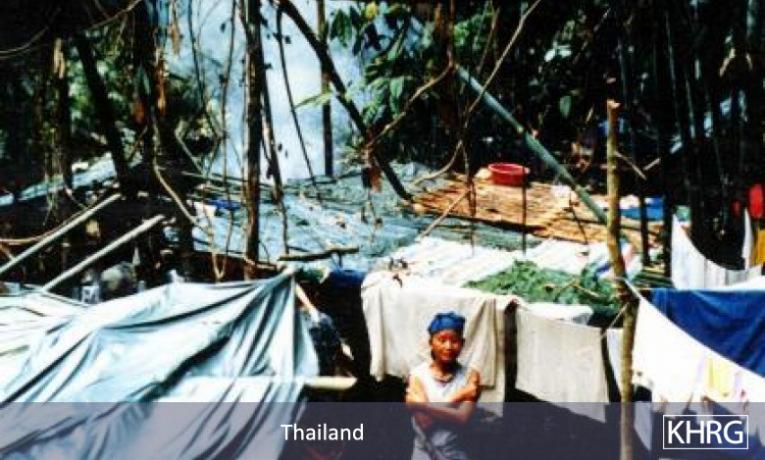
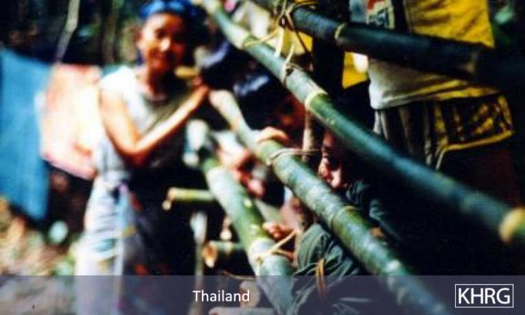
This photo-set covers displaced villagers and the remains of their villages following attacks on Karen villages in the Far South.
Peoples’ names given here correspond to those used in the reports; names which have been changed to protect people are enclosed in quotes. Some details have been omitted from the photo descriptions to protect the people involved. These photos may be used in any way to help the people of Burma.
Some abbreviations used in the photo descriptions:
SLORC = State Law & Order Restoration Council, Burma’s military junta
DKBA = Democratic Kayin (Karen) Buddhist Army, Karen group allied to SLORC
KNU = Karen National Union, main Karen opposition organization
KNLA = Karen National Liberation Army, army of the KNU
KNPP = Karenni National Progressive Party, Karenni organization which is still fighting SLORC.
The Boke Pyin area of southern Tenasserim Division lies just 180 km. north of Burma’s southernmost tip at Kawthaung (Victoria Point). The area is populated by Burmans, Muslims, Mons, Karens and ethnic Thais. In October 1996 all the Karen villages in the region were ordered to move to relocation sites around the Burman village of Le Nya, where they were to be used as forced labour rebuilding the Boke Pyin-Le Nya road. In November SLORC troops burned the Karen villages of Nan Ka Prao, Waw Pa Doh, Ler Pa Doh and Kyet Der. Villagers have been told they will all be killed on sight in the area. Most have fled into hiding in the forests between their villages and the Thai border, while several hundred reached KNU-held territory around Kaw Thay Lu. In February SLORC launched an offensive against the Kaw Thay Lu area, and about 300 of the displaced people fled across the border 1 km. into Thailand, where they continue to be confined by Thai authorities to a narrow, dark gully in temporary shelters, very vulnerable to SLORC attack. All photos relate to the report "Attacks on Karen Villages: Far South" (‘Far South’).
Photo #84: Villagers in front of the Roman Catholic Church in Ler Pa Doh village, burned by SLORC troops in November 1996. [Photo: Karen sources]
Photo #85: House burned down by SLORC in Ler Pa Doh village. [Photo: Karen sources]
Photos #86,87: Karen villagers from the area hiding in the forests after fleeing their villages. [Photo: Karen sources]
Photo #88-95: Villagers who made it to KNU area, then had to flee a SLORC offensive in the area to Thailand. They are now living in these makeshift shelters in a narrow gully just 1 km. inside unprotected Thai territory, very vulnerable to attack but not allowed by Thai authorities to move further inside Thailand or to build more permanent shelters. Thai forces in the area are positioned further inside Thailand than the refugees - stopping the refugees from escaping, but doing nothing to defend the Thai border. [Photos: KHRG]


